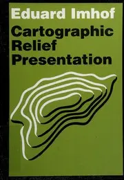
Cartographic relief presentation
Eduard Imhof · 2007
Writing, design and web craft › Data visualization and visual communication
#12,004 most recommended
Hacker News
3
mentions by 2 people · top 64% of 15,732 books
Open Library
—
No ratings yet
3 want to read
Wikipedia
—
No article yet
About the book
A reference treatise on how terrain is drawn on maps, covering contour lines, hachures, layer tints, and shaded relief, along with their history and the cartographic techniques used to combine them. It is aimed mainly at topographic and general-purpose mapping, and it includes case studies of finished maps. The book holds that relief is best understood when its depiction is planned as a deliberate graphic design, not produced mechanically from elevation data. It argues that combining methods, such as contours with shading and colour tints, usually reads more clearly than any single method alone. It also argues for a consistent, fixed light direction, conventionally from the northwest, and for generalisation and tonal balance so the terrain reads intuitively.
Written by Claude from what it knows of this book.
What Hacker News says 100% recommend · 0% critical
In the commenters’ own words
On the flip side, Tom Patterson’s maps are undoubtedly better quality (as static images) than anything that can be automatically made using easily available…
Of course he did consider color blindness. Tufte recommends Imhof’s book Cartographic Relief Presentation on the subject of choosing colors for data graphics…
What Open Library readers say
No Open Library reader has rated it yet.
- 3 want to read
- 0 reading
- 0 have read
What critics say, via Wikipedia
No Wikipedia article about this book yet, so no critics to quote.
Reddit communities — coming later
Details
- First published
- 2007
- ISBN
- 9781589480261
- Editions known
- 2 at Open Library
- Open Library
- OL17999406W
Case studiesLand trustsMapsTopographic maps
Read next: its neighbours on the mosaic
 Curves and Surfaces for CAGDGerald Farin · 1996 · recommended by 1 person · loosely similar by subject
 Understanding Geometric AlgebraKenichi Kanatani · 2015 · recommended by 1 person · loosely similar by subject
 Flattening the earthJohn Parr Snyder · 1993 · recommended by 3 people · loosely similar by subject
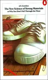 The New Science of Strong MaterialsJames Edward Gordon · 1968 · recommended by 2 people · loosely similar by subject
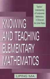 Knowing and teaching elementary mathematicsLiping Ma · 1999 · recommended by 2 people · loosely similar by subject
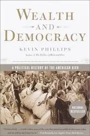 Wealth and DemocracyKevin Phillips · 2002 · recommended by 2 people · loosely similar by subject
 Federalist PAPERSAlexander Hamilton · 1787 · recommended by 8 people · loosely similar by subject
 Nurtured by LoveShinichi Suzuki · 1969 · recommended by 3 people · loosely similar by subject
 Terre des hommesAntoine de Saint-Exupéry · 1939 · recommended by 1 person · loosely similar by subject
 Let's readLeonard Bloomfield · 1961 · recommended by 3 people · loosely similar by subject
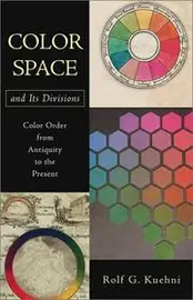 Color Space and Its DivisionsRolf G. Kuehni · 2003 · recommended by 2 people · loosely similar by subject
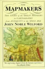 The mapmakersJohn Noble Wilford · 1981 · recommended by 2 people · loosely similar by subject
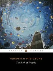 The Birth of TragedyFriedrich Nietzsche · 1872 · recommended by 5 people · loosely similar by subject
 Number words and number symbolsKarl A. Menninger · 1969 · recommended by 2 people · loosely similar by subject
 Mathematical discoveryGeorge Pólya · 1962 · recommended by 2 people · loosely similar by subject
 A history of vector analysisMichael J. Crowe · 1967 · recommended by 3 people · loosely similar by subject
 MapsAleksandra Mizielinska · 2013 · recommended by 2 people · loosely similar by subject
 How to Lie with MapsMark S. Monmonier · 1991 · recommended by 5 people · loosely similar by subject
 The spirit of the lawsCharles-Louis de Secondat baron de La Brède et de Montesquieu · 2010 · recommended by 4 people · loosely similar by subject
 Envisioning InformationEdward R. Tufte · 1990 · recommended by 31 people · loosely similar by subject
 Visual Complex FunctionsElias Wegert · 2012 · recommended by 4 people · loosely similar by subject
 Harry the Dirty DogGene Zion · 1956 · recommended by 2 people · loosely similar by subject
 Information GraphicsRobert L. Harris · 1999 · recommended by 3 people · loosely similar by subject
 The Moscow PuzzlesBoris A. Kordemsky · 1978 · recommended by 2 people · loosely similar by subject